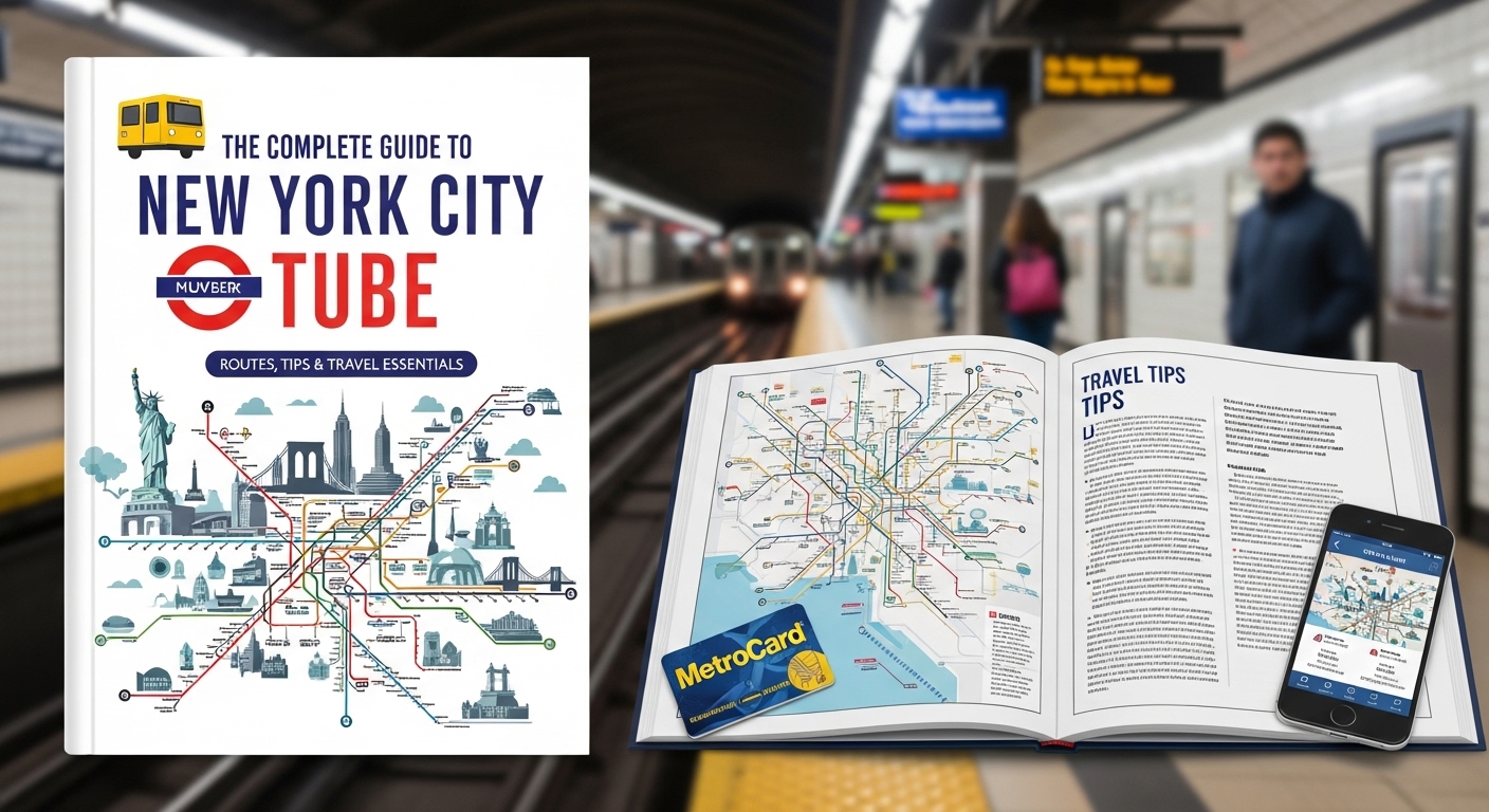
Introduction to America’s Largest Underground Transit Network
The New York City tube system stands as the backbone of metropolitan transportation throughout Manhattan, Brooklyn, Queens, and the Bronx. Millions of commuters and tourists rely on this extensive underground network daily to navigate the bustling streets of America’s largest city. Moreover, understanding how to use this complex system efficiently can transform your experience of exploring the Big Apple completely. This comprehensive guide provides essential information about routes, schedules, payment methods, safety tips, and insider knowledge for seamless subway travel experiences.
Historical Development of the Underground Rail System
Early Beginnings and Construction Challenges
Construction of the first underground railway line began in 1900 under the supervision of chief engineer William Barclay Parsons and his team. Subsequently, the Interborough Rapid Transit Company opened the inaugural route on October 27, 1904, connecting City Hall to 145th Street successfully. Workers faced numerous obstacles including unstable soil conditions, underground water sources, and existing utility lines during the challenging construction process. Nevertheless, the ambitious project moved forward rapidly because city officials recognized the desperate need for efficient mass transportation throughout Manhattan’s growing neighborhoods.
Expansion Through Multiple Decades
Throughout the twentieth century, three separate companies operated different sections of the expanding rail network under various management structures and regulations. Eventually, the city unified all operations under municipal control in 1940, creating a cohesive system that served residents more effectively. Furthermore, continuous expansion projects added new lines reaching outer boroughs, connecting previously isolated neighborhoods to Manhattan’s commercial and cultural centers. The network grew from 28 stations initially to over 470 stations currently, making it the world’s largest subway system today.
Understanding the Complex Route Structure
Color-Coded Lines and Letter Designations
The modern system uses letters and numbers to identify different routes, with color coding that groups services running along similar pathways. For instance, the red line includes the 1, 2, and 3 trains, all traveling through Manhattan’s West Side corridor together. Similarly, green trains comprise the 4, 5, and 6 services running along the East Side, providing essential north-south connectivity daily. Understanding these groupings helps riders plan efficient journeys because trains sharing colors often stop at overlapping stations along their respective routes.
Express Versus Local Service Patterns
Local trains stop at every station along their designated routes, providing comprehensive coverage but requiring more time for complete journeys. Conversely, express trains skip certain stations during peak hours, allowing passengers to reach distant destinations significantly faster than local alternatives. Additionally, some routes switch between express and local patterns depending on the time of day or specific sections of track. Smart commuters learn which services match their needs best, balancing speed against convenient station access for optimal travel efficiency.
Navigating Station Layouts and Transfers
Entrance Locations and Street Access Points
Most stations feature multiple entrances scattered across several blocks, though some smaller stops provide only single access points from street level. Therefore, knowing which entrance serves your intended direction prevents unnecessary underground walking and potential confusion about correct platform locations. Station signs outside display route numbers and letters clearly, helping pedestrians identify appropriate entry points quickly before descending underground stairs or escalators.
Platform Configurations and Directional Signage
Different stations employ various platform arrangements including side platforms, island platforms, or complex multi-level configurations that accommodate numerous intersecting routes simultaneously. Consequently, reading directional signs carefully becomes crucial because boarding the wrong platform means traveling away from your intended destination completely. Uptown and downtown designations replace traditional north and south terminology, referring to Manhattan’s geographical layout rather than compass directions specifically.
Transfer Corridors Between Lines
Major hubs like Times Square, Atlantic Avenue, and Fulton Street contain extensive underground passageways connecting multiple lines across different levels safely. Walking these transfer corridors sometimes requires several minutes, especially during crowded rush hour periods when pedestrian traffic moves slowly through narrow passages. However, free transfers between lines make the system incredibly flexible, allowing passengers to reach virtually any neighborhood through strategic route combinations.
Payment Systems and Fare Options
MetroCard Technology and Purchase Locations
Traditional MetroCards serve as the primary payment method, available at vending machines located inside every station throughout the entire network. Riders choose between pay-per-ride cards or unlimited passes covering seven-day or thirty-day periods depending on their anticipated usage patterns. Additionally, pay-per-ride cards offer bonus credits when purchasing larger amounts, providing modest savings for frequent travelers who prefer flexible options.
OMNY Contactless Payment Innovation
The newer OMNY system accepts contactless credit cards, debit cards, and smartphone payment applications like Apple Pay and Google Pay seamlessly. Simply tapping your card or phone at turnstile readers charges the standard fare automatically without requiring separate transit cards altogether. Furthermore, OMNY automatically caps weekly charges at the unlimited pass rate, ensuring riders never overpay regardless of trip frequency patterns.
Reduced Fare Programs Available
Senior citizens, passengers with disabilities, and low-income residents qualify for discounted fares through special application processes administered by transit authorities officially. These reduced-fare MetroCards require identity verification and periodic renewal but provide significant savings for eligible populations using public transportation regularly. Moreover, children under 44 inches tall ride completely free when accompanied by fare-paying adults at all times.
Peak Hours and Service Schedules
Weekday Rush Hour Patterns
Morning rush hours typically span from 6:30 AM to 9:30 AM when millions of workers commute into Manhattan’s business districts simultaneously. Evening rush hours reverse this flow from approximately 4:30 PM to 7:30 PM as employees return home to residential neighborhoods throughout boroughs. During these peak periods, trains run at maximum frequency, often arriving every two to five minutes depending on the specific route.
Weekend and Late-Night Operations
Weekend service continues throughout Saturday and Sunday with slightly reduced frequency compared to weekday schedules, particularly during overnight hours when ridership drops. Late-night service operates 24 hours daily, distinguishing this system from most other global transit networks that shut down completely overnight. However, overnight trains run less frequently, sometimes requiring 20-minute waits between arrivals on less-traveled routes serving outlying neighborhoods primarily.
Planned Service Changes and Delays
Weekend maintenance work frequently requires route modifications, station closures, or replacement bus service along affected segments to accommodate necessary infrastructure improvements. Transit authorities announce planned changes through website updates, mobile applications, and posted notices at stations several weeks in advance typically. Nevertheless, unexpected delays occur regularly due to signal problems, track maintenance, police investigations, or medical emergencies requiring immediate attention from staff.
Safety Tips for Subway Travelers
Personal Security Awareness Strategies
Staying alert to your surroundings remains essential while waiting on platforms or riding trains, especially during less crowded overnight hours worldwide. Keep valuable items secured and avoid displaying expensive electronics, jewelry, or large amounts of cash that might attract unwanted attention. Furthermore, standing away from platform edges prevents accidental falls and provides better visibility of approaching trains before boarding safely.
Emergency Procedures and Help Points
Every station contains emergency help points allowing passengers to contact transit authorities directly regarding safety concerns, medical emergencies, or suspicious activities. Train cars feature intercoms connecting riders to conductors who can request police assistance or coordinate responses to urgent situations immediately. Additionally, familiarizing yourself with car exit locations and emergency brake mechanisms provides preparedness for unlikely but serious emergency scenarios.
Crowding Management During Rush Hours
Packed trains during peak commuting times require patience and spatial awareness to navigate tight quarters respectfully among fellow passengers sharing limited space. Allow exiting passengers to disembark completely before attempting to board, creating smoother flow patterns that benefit everyone traveling during these periods. Moreover, moving toward the center of cars rather than clustering near doors improves circulation and comfort throughout crowded journeys.
Accessibility Features and Accommodations
Elevator-Equipped Stations Throughout
Only 25 percent of stations currently offer elevator access, creating significant challenges for passengers using wheelchairs, strollers, or walkers regularly. The transit authority continues expanding accessibility through ongoing renovation projects, though complete system-wide coverage remains years away from full completion. Meanwhile, accessible station lists appear on official websites and mobile applications helping mobility-impaired riders plan feasible routes carefully beforehand.
Audio and Visual Announcement Systems
Modern trains announce upcoming stops through automated audio systems supplemented by digital displays showing station names and service information clearly. These dual-format announcements assist passengers with visual or hearing impairments, ensuring everyone receives critical information about their journey progress. However, older train cars sometimes lack these features, requiring greater attention to physical station signs visible through windows during stops.
Mobile Applications and Digital Resources
Official MYmta Application Features
The official transit application provides real-time arrival information, service status updates, trip planning tools, and interactive system maps accessible anywhere instantly. Users receive personalized alerts about delays affecting their saved routes, allowing proactive adjustments to travel plans before reaching stations unnecessarily. Additionally, the application includes station accessibility information, nearby amenities, and entrance locations plotted on integrated street maps for convenient navigation assistance.
Third-Party Navigation Tools Available
Popular applications like Google Maps, Citymapper, and Transit integrate subway data with walking directions, providing comprehensive door-to-door journey planning across multiple transportation modes. These tools often suggest alternative routes automatically when delays occur, comparing estimated travel times across different options to identify fastest solutions. Furthermore, crowd-sourced features in some applications provide real-time reports about train conditions, delays, and platform situations from fellow commuters.
Connecting to Other Transportation Networks
Bus Service Integration Points
Subway stations often serve as major bus transfer hubs where numerous surface routes converge, facilitating seamless connections throughout neighborhoods beyond walking distance. Free transfers between subway and bus services within two hours encourage multimodal journeys that combine underground and street-level transportation effectively. Consequently, understanding local bus options expands accessible destinations significantly, particularly in areas with limited subway coverage geographically.
Regional Rail Connections Available
Long Island Rail Road, Metro-North Railroad, and New Jersey Transit trains connect to the subway at major terminals including Penn Station, Grand Central, and Atlantic Terminal. These regional railways serve suburban communities throughout the tri-state area, bringing hundreds of thousands of additional commuters into Manhattan daily. Moreover, coordinating subway and regional rail schedules maximizes efficiency for travelers commuting from distant locations requiring multiple transportation segments.
Neighborhoods and Destination Access
Manhattan’s Major Districts Covered
Subway routes crisscross Manhattan comprehensively, connecting financial districts downtown with cultural institutions uptown and residential neighborhoods throughout the borough’s narrow geography. Times Square, Union Square, Columbus Circle, and other major hubs serve as central transfer points where multiple lines intersect conveniently. Additionally, recent extensions now serve previously underserved areas including Hudson Yards and the Far West Side’s developing residential communities.
Brooklyn’s Diverse Communities Connected
Brooklyn contains the system’s most extensive network with numerous lines serving neighborhoods from industrial Sunset Park to trendy Williamsburg successfully. The borough’s population depends heavily on subway access, with some areas hosting multiple parallel routes providing redundancy and flexibility for residents. Furthermore, express services along key corridors expedite journeys between Brooklyn and Manhattan, making cross-borough commutes manageable for working professionals daily.
Queens and Bronx Coverage Patterns
Queens features several lines radiating from Manhattan into diverse neighborhoods like Flushing, Jamaica, and Astoria, though coverage remains sparser than Brooklyn’s density. The Bronx receives service primarily through routes extending northward from Manhattan, with relatively fewer internal connections between neighborhoods within the borough. Nevertheless, these outer borough connections prove essential for residents commuting to Manhattan employment centers and accessing citywide amenities regularly.
Tourist Attractions and Landmark Access
Cultural Institutions Near Stations
World-famous museums including the Metropolitan Museum of Art, American Museum of Natural History, and Museum of Modern Art sit conveniently near subway stops. Therefore, tourists can visit multiple attractions efficiently without expensive taxi rides or confusing surface transportation between widely separated locations throughout Manhattan. Additionally, performance venues like Lincoln Center, Carnegie Hall, and Broadway theaters cluster near well-served stations in Midtown and the Upper West Side.
Parks and Recreational Destinations
Central Park features multiple subway access points along its borders, allowing visitors to reach different park sections easily depending on planned activities. Similarly, Prospect Park in Brooklyn, Flushing Meadows Corona Park in Queens, and other green spaces connect to nearby stations within walking distance. Moreover, waterfront destinations including Coney Island and Rockaway Beach maintain direct subway service during summer months, facilitating beach outings without requiring personal vehicles.
Food and Shopping Districts Reachable
Culinary Neighborhoods Throughout Boroughs
Food enthusiasts find incredible diversity accessible through subway connections to ethnic enclaves like Chinatown, Little Italy, Koreatown, and Jackson Heights simultaneously. Each neighborhood offers authentic cuisine representing immigrant communities that shaped the city’s multicultural character throughout decades of continuous migration waves. Furthermore, the system enables culinary adventures sampling diverse foods across multiple neighborhoods during single day trips without geographical limitations.
Shopping Centers and Commercial Corridors
Major retail districts including Fifth Avenue, SoHo, Herald Square, and Brooklyn’s Atlantic Avenue sit adjacent to heavily trafficked subway stations serving shoppers. Transit access encourages commercial activity because customers can visit easily without parking concerns that plague automobile-dependent suburban shopping centers elsewhere. Consequently, vibrant street-level retail thrives along subway corridors, creating dynamic pedestrian environments that define the city’s unique urban character.
Weather Considerations and Seasonal Impacts
Summer Heat and Platform Conditions
Underground stations lack air conditioning, making summer platform waits uncomfortably hot and humid during extreme weather periods when temperatures exceed ninety degrees. Some newer train cars feature climate control, though older equipment still operates without cooling systems, creating challenging conditions for passengers during extended journeys. Therefore, carrying water bottles and dressing in breathable fabrics helps manage discomfort during summer travel throughout the sweltering season.
Winter Weather Service Disruptions
Heavy snowstorms occasionally cause delays when snow accumulation affects outdoor track sections in outer boroughs beyond Manhattan’s primarily underground infrastructure. Ice formation on third rails supplying electrical power sometimes requires reduced speeds or temporary service suspensions until crews clear affected sections safely. Nevertheless, the system generally maintains operations during winter storms better than surface transportation modes that face severe weather challenges regularly.
Etiquette and Unwritten Rules
Passenger Courtesy Expectations
Offering seats to elderly passengers, pregnant women, and people with visible disabilities represents expected courtesy that most riders observe voluntarily throughout travels. Keeping personal belongings contained prevents blocking seats or aisles unnecessarily, allowing maximum passenger capacity during crowded conditions affecting everyone. Additionally, moderating conversation volumes respects fellow passengers seeking quiet during commutes, creating more pleasant shared environments for diverse rider populations.
Door Blocking and Movement Flow
Standing directly in doorways prevents efficient passenger exchange during station stops, frustrating other riders trying to board or exit smoothly. Moving into car interiors away from doors facilitates better traffic flow, reducing dwell times at stations and preventing service delays systemwide. Furthermore, allowing exiting passengers to disembark before boarding represents fundamental courtesy that experienced riders practice automatically without conscious thought.
Future Developments and Expansion Plans
Second Avenue Subway Extension Progress
The long-awaited Second Avenue line promises to relieve overcrowding on the East Side’s existing Lexington Avenue routes serving Manhattan’s densest corridors. Phase one opened in 2017 with three new stations, though future phases extending service northward into Harlem remain in planning stages. Ultimately, complete buildout would create a parallel north-south route serving neighborhoods currently underserved by existing infrastructure throughout Manhattan’s eastern geography.
Accessibility Improvement Initiatives Planned
Ongoing capital projects prioritize installing elevators at heavily used stations currently lacking accessible entrances, though budget constraints limit progress significantly. The transit authority aims to retrofit 95 percent of stations with accessible features by 2055, representing ambitious though distant goals. Meanwhile, incremental improvements continue annually, gradually expanding options for mobility-impaired riders who deserve equitable access to public transportation networks.
Final Remarks: Mastering Metropolitan Transit Navigation
Understanding the New York City underground rail system transforms from overwhelming confusion into confident navigation through knowledge, experience, and practical application strategies. This guide provides foundational information helping newcomers and visitors develop skills necessary for efficient travel throughout America’s most complex transit network. Subsequently, regular use builds familiarity with specific routes, transfer points, and timing patterns that optimize your daily commutes or tourist explorations. Remember that millions of fellow riders successfully navigate this system daily, proving that anyone can master metropolitan transit with patience, attention, and willingness to learn from occasional mistakes encountered along the journey toward comfortable proficiency.